
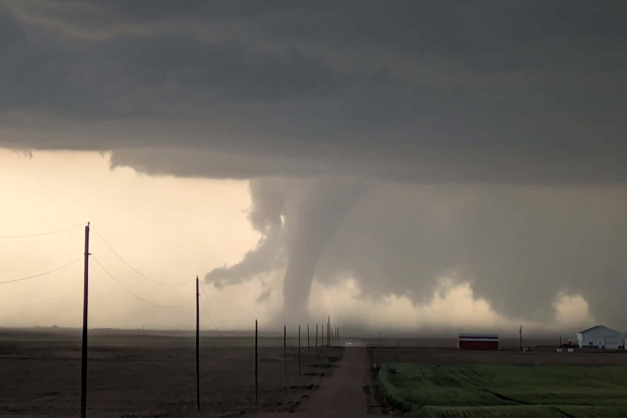
The risk of a tornado and thunderstorms continues in southern Ontario.
Thunderstorms and wind gusts are predicted for much of the province Wednesday afternoon and evening, Environment and Climate Change Canada said on X.
The storms could hit southern, northwestern and northeastern Ontario, the weather forecaster said.
In the GTA, 15 to 25 millimetres of rain is forecast.
There is a risk of tornados for extreme southwestern Ontario, Environment Canada added. This risk was noted in an outlook on Tuesday.
A rainfall warning was also issued for cottage country including Parry Sound, Huntsville, the Bruce Peninsula and Algonquin Park.
Up to 60 millimetres of rain could fall starting Wednesday night and into Thursday morning, the warning stated.
🌪️Thunderstorm Outlook for Today⚡
🌧️Thunderstorms predicted for southern, NW, and NE ON this afternoon and evening may bring wind gusts 🌬️ and rain☔. There is a risk of tornado for extreme SW ON. #ONstorm #ONwx pic.twitter.com/oLoU0ocKO7
— ECCC Weather Ontario (@ECCCWeatherON) June 18, 2025
Lead photo: Stefan Klein
PollView All
WIN A $100 GIFT CARD
Subscribe to INsauga’s daily email newsletter for a chance to win a $100 Amazon gift card.