
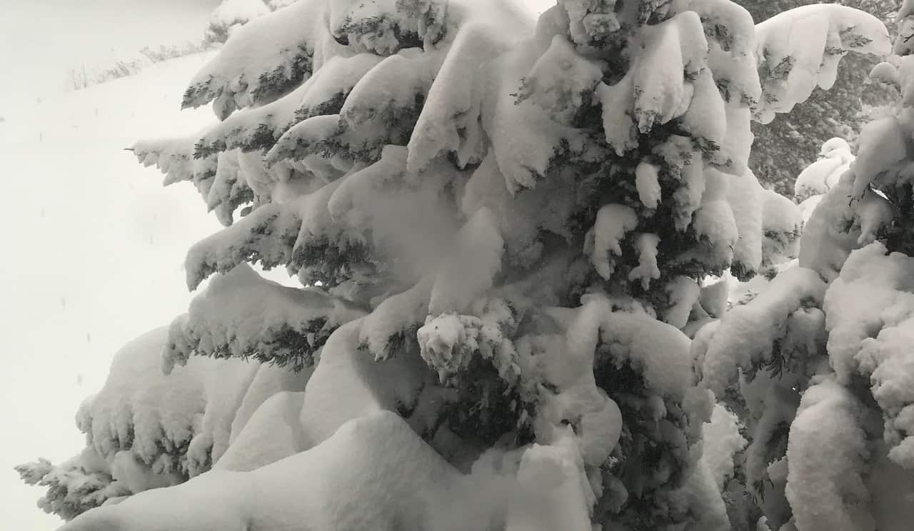
Up to 20 cm of snow coming to Mississauga, Brampton, Hamilton and Halton Region
Published February 16, 2022 at 5:57 pm
The low-pressure system that is expected to track toward Lake Ontario tomorrow night (Feb. 17) might lead to the region getting more snow than first anticipated.
Environment Canada, the federal weather agency, has issued a snowfall warning for Mississauga, Brampton and Hamilton, as well as the the Halton Region communities of Burlington, Halton Hills, Milton and Oakville. It warns that snow is expect to fall, at times heavily, from Thursday afternoon through Friday morning.
LATEST WEATHER: Another major snowfall warning in effect for Mississauga, Brampton, Burlington, Oakville and Milton
Total accumulations of 10 to 20 cm are possible. Drivers and pedestrians should be on alert for reduced visibility in heavy snow and blowing snow, as well as icy and slippery surfaces.
The storm system was already expected to bring rain and freezing rain to the area. An earlier special weather statement indicated that less snowfall was expected.
“A low pressure system is expected to track northeast across Lake Erie and Lake Ontario Thursday night which will bring a messy mix of wintry precipitation to southern Ontario,” Environment Canada says. “Precipitation will begin as rain this evening and transition to snow Thursday afternoon. Freezing rain and ice pellets are also possible Thursday morning and afternoon.
Videos


“Be prepared to adjust your driving with changing road conditions,” EC adds. “Rapidly accumulating snow could make travel difficult over some locations. Visibility may be suddenly reduced at times in heavy snow. Surfaces such as highways, roads, walkways and parking lots may become difficult to navigate due to accumulating snow.”
Severe weather in Ontario can be reported by email to [email protected] or it can bee tweeted using #ONStorm.
insauga's Editorial Standards and Policies advertising