
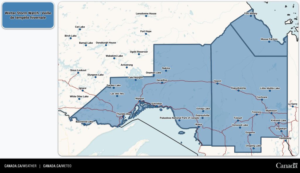
A large part of Ontario is under a winter storm watch.
Environment Canada issued the alerts for northern areas of the province, including Thunder Bay, Timmins, and Moosonee.
The weather agency said the system is expected to begin Tuesday evening for those further west, and Tuesday night for those in the east.
READ MORE: Snow, cold weather forecast this week in the Greater Toronto Area
It’ll end from west to east through the day on Thursday for those more western areas. Further east, the storm is expected to end Friday afternoon.
Total snow accumulation of 15 to 30 cm is expected, with reduced visibility in heavy and blowing snow. Some places may even see more than 30 cm, the weather agency said.
-
- X / @ECCCWeatherON

“Strong northerly winds will also accompany the snow, leading to possible blowing snow that could reduce visibility to near zero at times. There remains uncertainty with the exact track of the low pressure system, and therefore the corridor of heaviest snowfall,” Environment Canada said.
“Total snowfall amounts may exceed 30 cm for some locations. Roads and walkways may be very difficult to navigate. Visibility may be suddenly reduced to near zero at times. Road closures are possible.”
INsauga's Editorial Standards and PoliciesPollView All
WIN A $100 GIFT CARD
Subscribe to INsauga’s daily email newsletter for a chance to win a $100 Amazon gift card.