
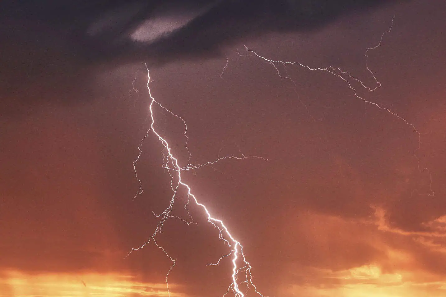
Tuesday is expected to bring showers, strong wind gusts and a risk of thunderstorms across the Greater Toronto Area and southern Ontario.
Environment Canada says the morning will start off cloudy with a few showers in Toronto, Mississauga, Brampton and Oshawa, while the rain should skip Hamilton and the Niagara Falls area.
There’s a risk of thunderstorms across southern Ontario in the afternoon, and a southwest wind blowing around 30 km/h could gust up to around 50 km/h.
Strong wind gusts and heavy rain are possible in some parts of the province. Up to 40 mm of rainfall is possible in some areas with a peak local hourly amount of up to 30 mm.
The daytime high will be around 24 C in Mississauga but could feel more like 32 C due to the humidity. The UV index will be 3 or “moderate,” the weather agency says.
Tuesday night could bring more showers and cloudy skies to Toronto, Mississauga, Brampton and Oshawa, Hamilton and Niagara Falls. The rian is expected to die down around midnight. The overnight low will be around 13 C in Mississauga and 15 C in Toronto.
Looking ahead to Wednesday, Environment Canada is calling for a mix of sun and cloud with a 30 per cent chance of showers during the day, a high of 22 C and a low of 12 C.
Sunny conditions are expected to return to the GTA on Thursday with clear skies and a high of 26 C, while Friday could bring a mix of sun and clouds with a 30 per cent chance of rain to the GTA.
INsauga's Editorial Standards and PoliciesPollView All
WIN A $100 GIFT CARD
Subscribe to INsauga’s daily email newsletter for a chance to win a $100 Amazon gift card.