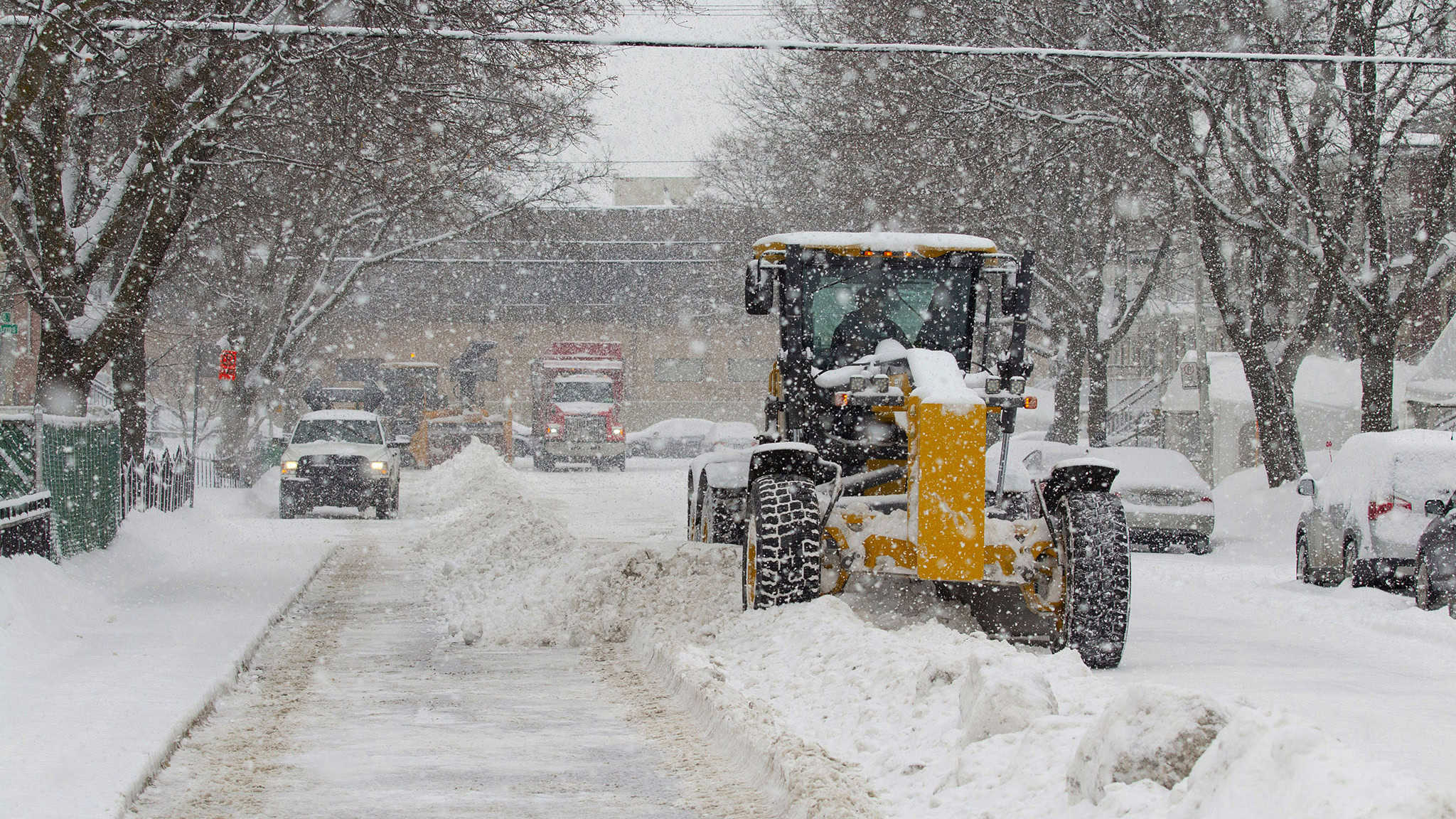
An additional 30 to 40 centimetres of snow is forecast in parts of southern Ontario on Thursday.
Environment and Climate Change Canada has issued weather warnings for the heavy snow and blowing snow in cottage country areas around Huntsville, Bracebridge and Haliburton, along with Owen Sound, Blue Mountains and Grey County today, continuing into Friday morning.
An additional five to 10 centimetres of snow is expected in the Stratford, Orangeville and Huron County area.
WEEKEND WEATHER: -29 wind chills, ‘significant’ snowstorm possible in southern Ontario
This comes after snowfall warnings on Wednesday in the province.
The snow squalls are expected to move south of the region late Friday morning, Environment Canada said.
Significantly reduced visibility is possible in heavy snow and local blowing snow, the warning said.
“Travel will be hazardous. Visibility will be suddenly reduced to near zero at times,” the warning said. “Roads and walkways will be difficult to navigate due to accumulating snow. Road closures are possible. Prepare for quickly changing and deteriorating travel conditions. Consider postponing non-essential travel and outdoor activities until conditions improve.”
The Niagara Region is under a special weather statement for an additional five centimetres of snow on Thursday.
The Greater Toronto Area does not have any warnings today, but there is a special message for the weekend.
“The coldest air of the season along with very cold wind chills is expected this weekend with the potential for significant snow on Sunday,” the weather forecaster said in the message.
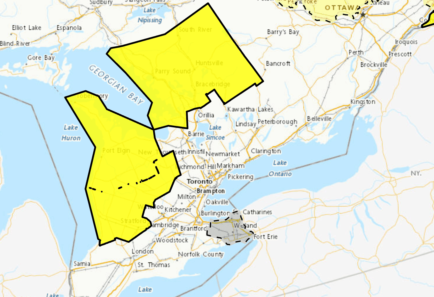
Areas shaded in yellow are under a warning for additional snow on Thursday through to Friday. Map: Environment Canada
PollView All
WIN A $100 GIFT CARD
Subscribe to INsauga’s daily email newsletter for a chance to win a $100 Amazon gift card.