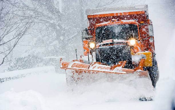
A major winter storm with heavy, blowing snow is expected this week in Ontario.
A winter storm watch has been upgraded to a storm warning for parts of northwest Ontario.
The storm is expected to arrive Tuesday night and end Thursday in Thunder Bay, Chapleau, Wawa, Timmins and Moosonee, Environment and Climate Change Canada said in the warning.
Total snowfall amounts of 25 to 45 cm are expected with higher amounts possible. Total snowfall amounts may exceed 50 cm for some locales northeast of Lake Superior.
Heavy snow and strong northerly winds will significantly reduce visibility to near zero at times, the warning states.
The heaviest snow is expected on Wednesday.
Travel will likely be hazardous and road closures are possible, the warning states.
Environment Canada suggests people avoid non-essential travel and outdoor activities.
People should prepare for disruptions to transportation, services and utilities.
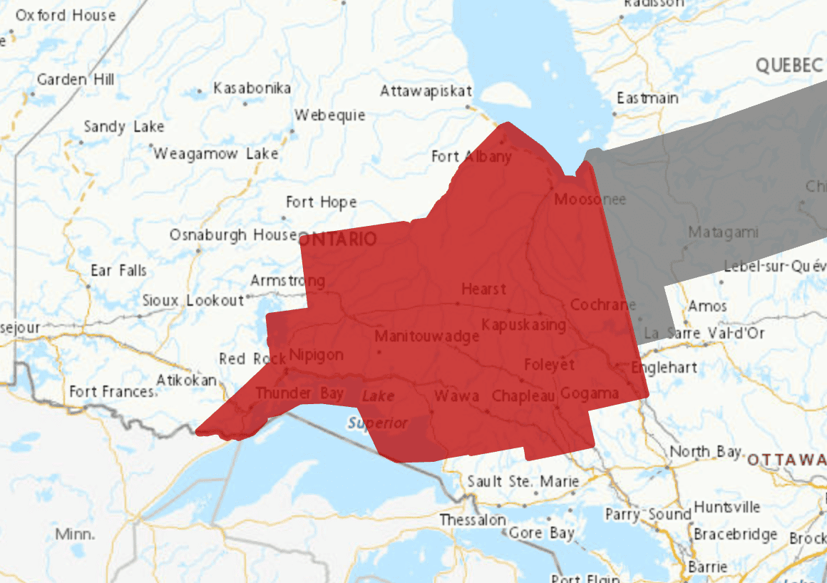
A winter storm warning is in effect for areas shade in red. Map: Environment Canada
PollView All
WIN A $100 GIFT CARD
Subscribe to INsauga’s daily email newsletter for a chance to win a $100 Amazon gift card.