
100km winds coming with the snow storm in Mississauga, Brampton, Hamilton, Oakville, Burlington and Milton
Published December 21, 2022 at 8:52 pm
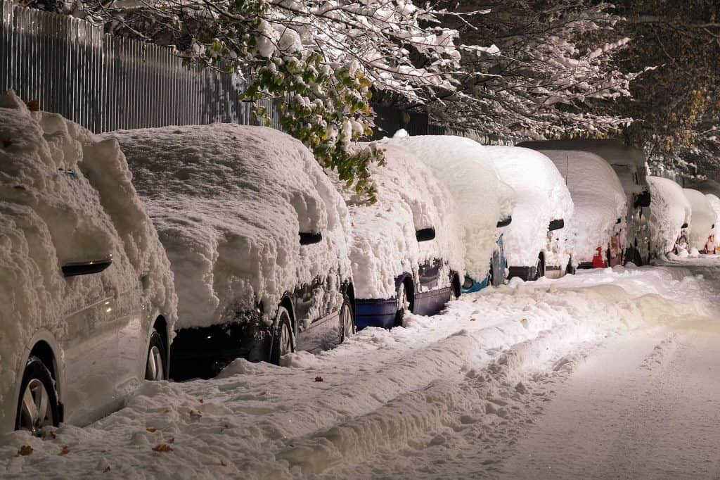
It might be a white Christmas after all but it will be a very aggressive snow event.
LATEST UPDATE: Up to 30cm snow expected in some areas as winter storm warning hits Mississauga, Brampton, Hamilton, Halton, Durham and Niagara
The latest is a winter storm watch according to Environment Canada is in effect for:
- Mississauga
- Brampton
- Hamilton
- Burlington
- Oakville
- Caledon
- Halton Hills
- Milton
There is a major winter storm expected late this week into the holiday weekend.
Precipitation may begin as rain or snow Thursday afternoon before transitioning to rain in many areas Thursday night. Temperatures are expected to plummet on Friday leading to a potential flash freeze.
Rapidly falling temperatures will be accompanied by strong to potentially damaging winds of 90 to 100 km/h along with snow, heavy at times. Blizzard-like conditions are possible Friday afternoon as the strong winds whip up the freshly fallen snow.
Videos


A multi-day lake effect snow event is expected into the weekend in the wake of the system for locations east of the Great Lakes.
Snowfall amounts of 5 to 15 cm appear possible by Saturday morning though some uncertainty remains.
Consider altering plans through the holiday weekend as travel conditions may become dangerous. Extensive utility outages are possible. Temperatures Friday night into the weekend will likely be the coldest of the season to date.
insauga's Editorial Standards and Policies advertising