
After days of extreme heat in southern Ontario, residents can expect a reprieve this weekend.
A multi-day heat event started across the province on Monday.
Temperatures were expected to hover around the low- to mid-30s for much of the week across southern Ontario and Quebec. The humidity is expected to make it feel about 10 degrees hotter.
While there is some uncertainty over when the heat wave will end, forecasts suggest cooler evenings are on tap this weekend.
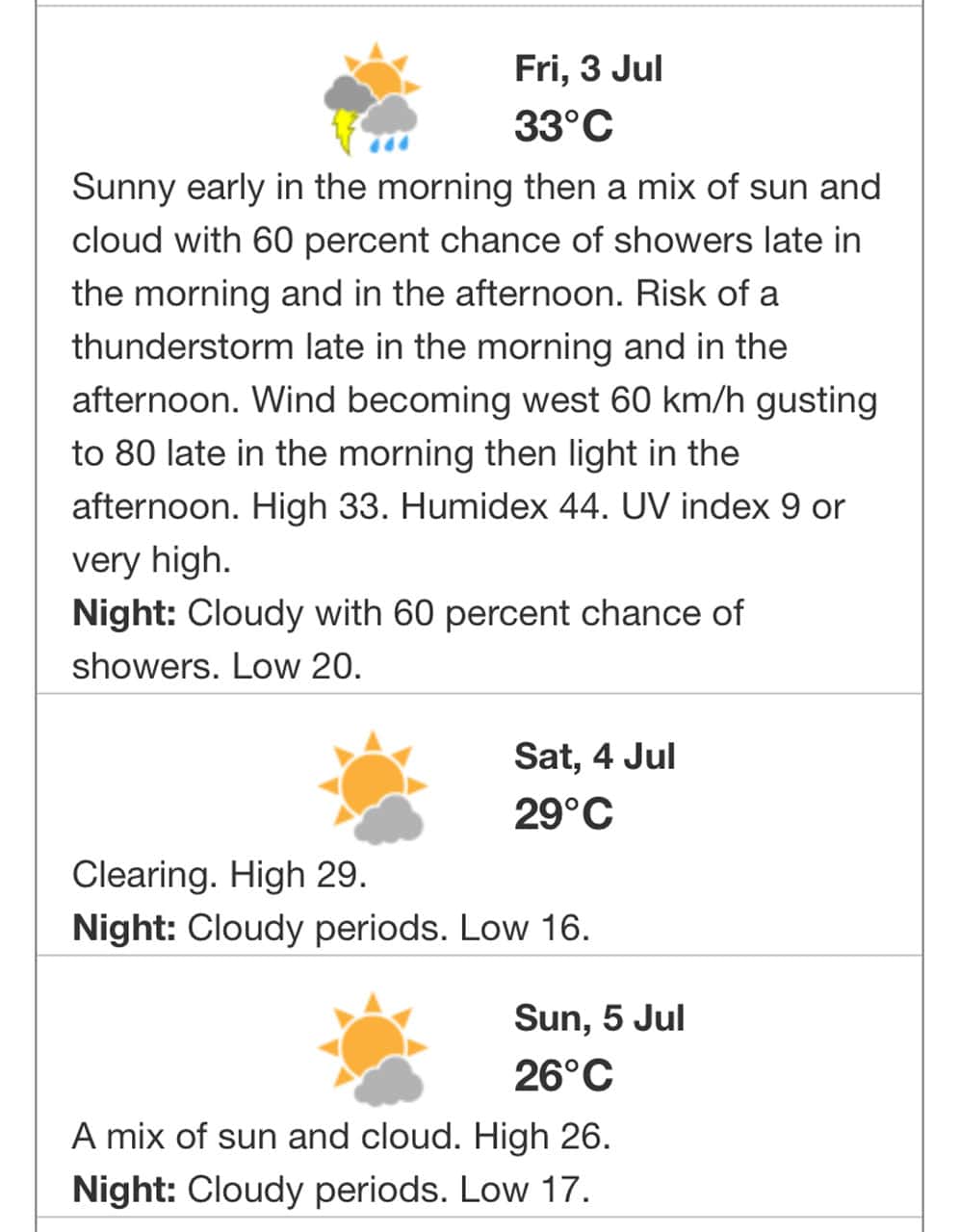
Friday’s high is expected to be around 33 C, but with the humidex it could feel like 44 C in Mississauga, Brampton, Toronto, Burlington, Oakville, Hamilton and Durham Region, according to Environment and Climate Change Canada.
There is a risk of a thunderstorm late in the morning and in the afternoon.
By the evening, however, temperatures could drop to 20 C. There is also a 60 per cent chance of showers.
On Saturday, the temperature will soar again, hitting a possible high of 29 C. It will be mainly sunny.
The evening cools down again to 16 C.
Sunday should see a return to more seasonable temperatures with a high of 26 C and a mix of sun and cloud. A low of 17 C is forecast for the evening.
Normal temperatures for this time of year are highs of 26 C and lows around 14 C.
PollView All
WIN A $100 GIFT CARD
Subscribe to INsauga’s daily email newsletter for a chance to win a $100 Amazon gift card.