

A fast-moving system is bringing a mix of snow and high winds today, creating potentially hazardous conditions for drivers and pedestrians. Environment Canada says accumulating snow and powerful gusts will make travel difficult through the morning and early afternoon.
Additional snow
Snowfall will continue early today, with another 2 to 4 cm expected before easing. By late morning, the system will taper to scattered flurries or brief rain showers.
Roads, sidewalks and parking lots are likely to become slippery, and visibility may be reduced at times.
Strong winds are developing late this morning
Southwest winds will strengthen later this morning, with gusts between 60 and 70 km/h possible. The winds will shift northwest and gradually weaken by this evening.
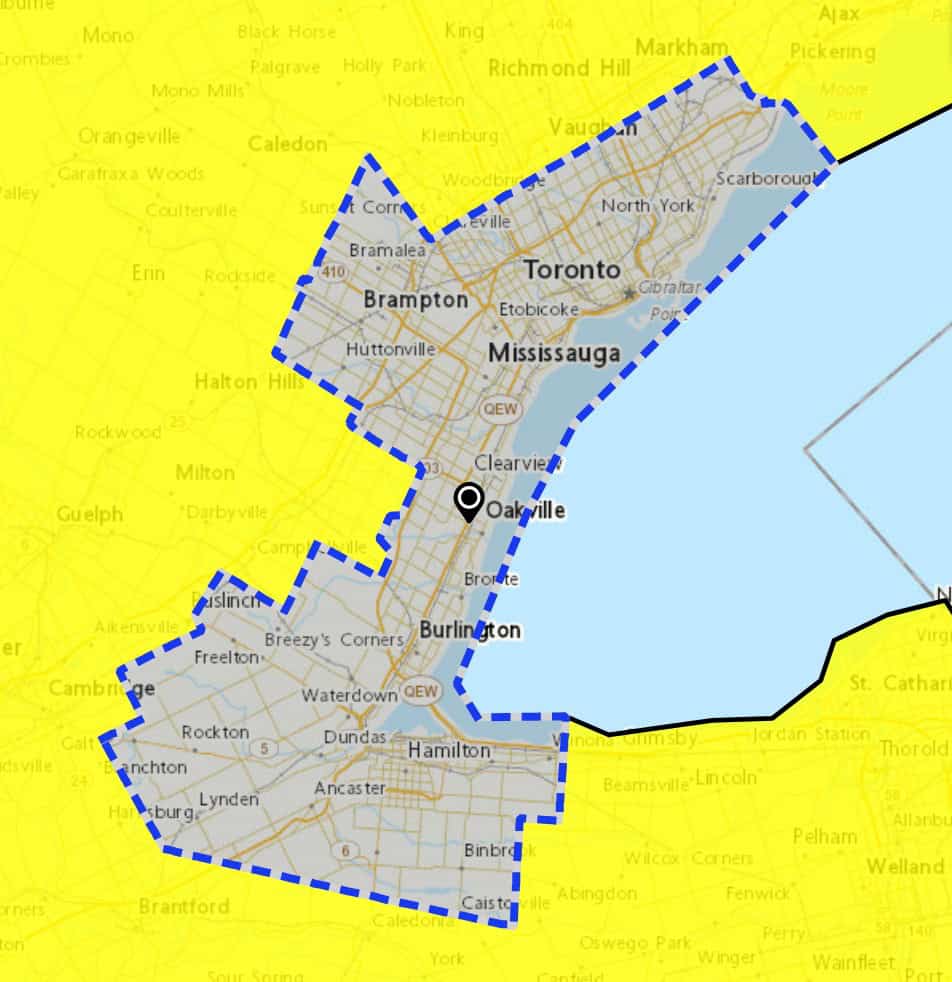
These gusts could create blowing snow in exposed areas, adding to the already challenging travel conditions across Toronto, Mississauga, Halton and Hamilton.
Risk of outages and travel disruptions
The strong winds may lead to isolated power outages, especially in areas with overhead wires or snow-covered trees.
Residents in Toronto, Mississauga, Brampton, Oakville, Burlington, Milton and Hamilton should use caution on sidewalks, secure loose outdoor items and expect longer travel times through midday.
When conditions improve
Winds will diminish this evening as cooler northwesterly air moves in. Some flurries may continue tonight, but the worst of the weather is expected earlier in the day.
PollView All
WIN A $100 GIFT CARD
Subscribe to INsauga’s daily email newsletter for a chance to win a $100 Amazon gift card.