
A potentially dangerous spring ice storm is expected to impact southern Ontario beginning late Friday and continuing through the weekend, bringing freezing rain, hazardous road conditions, and the possibility of power outages.
What to expect:
Environment Canada is forecasting significant ice accretion due to prolonged freezing rain, with general ice build-up between five and 15 mm. Some localized areas could see ice amounts exceeding 20 mm. This level of ice accumulation may lead to:
- Slippery roads and sidewalks
- Broken tree branches from ice weight
- Possible utility outages due to ice-covered power lines
Regions affected:
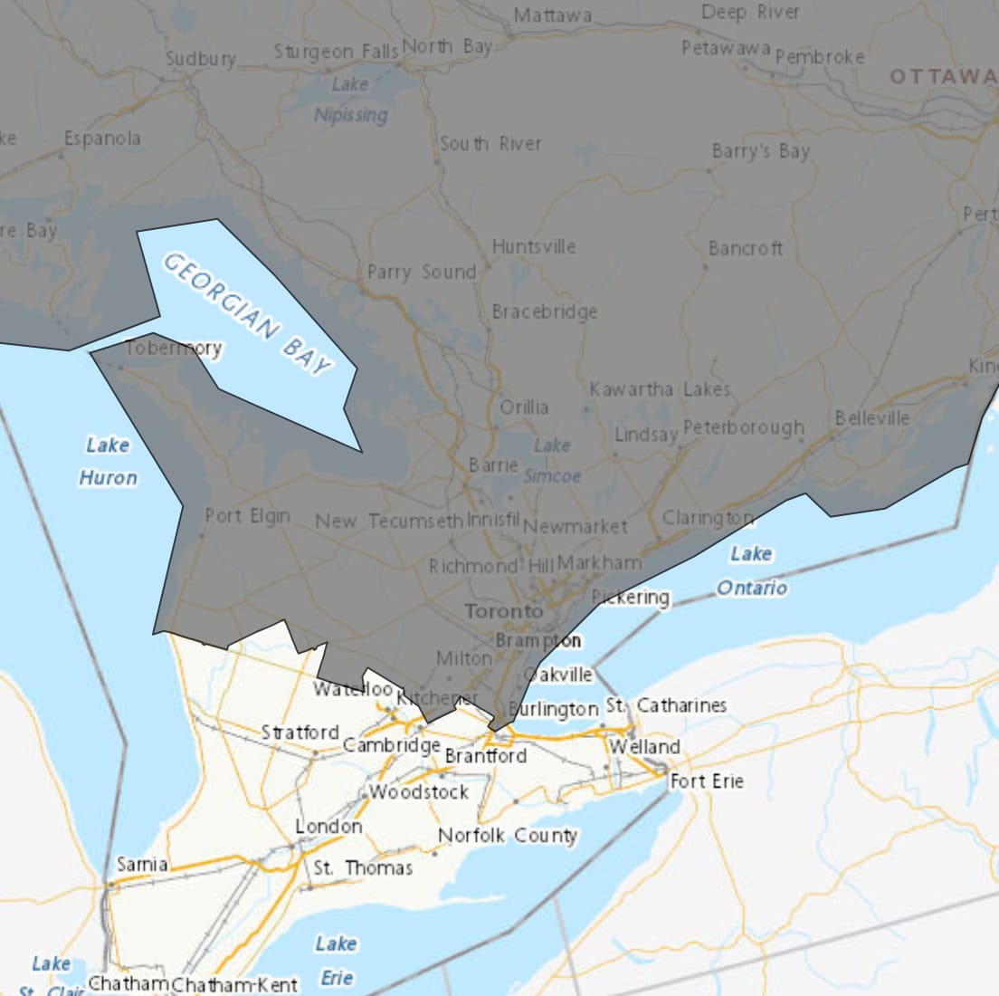
Toronto, Mississauga, Brampton, Burlington, Oakville, Pickering, Oshawa, and the southern Durham Region are all in the potential path of the storm and could experience severe impacts.
Timing:
The storm is expected to begin late Friday and could last into Monday. A break in the freezing rain is possible late Saturday into Saturday night before a second round develops.
Additional details:
Meteorologists are increasingly confident that this will be a widespread and prolonged freezing rain event. While the exact swath of maximum ice accretion remains uncertain, current projections suggest the highest risk lies in central and eastern Ontario—especially the area between Parry Sound and Kingston.
Weather warnings are expected to be issued as the event approaches. Residents are encouraged to monitor forecasts closely, prepare for possible power outages, and use caution when travelling.
INsauga's Editorial Standards and PoliciesPollView All
WIN A $100 GIFT CARD
Subscribe to INsauga’s daily email newsletter for a chance to win a $100 Amazon gift card.