
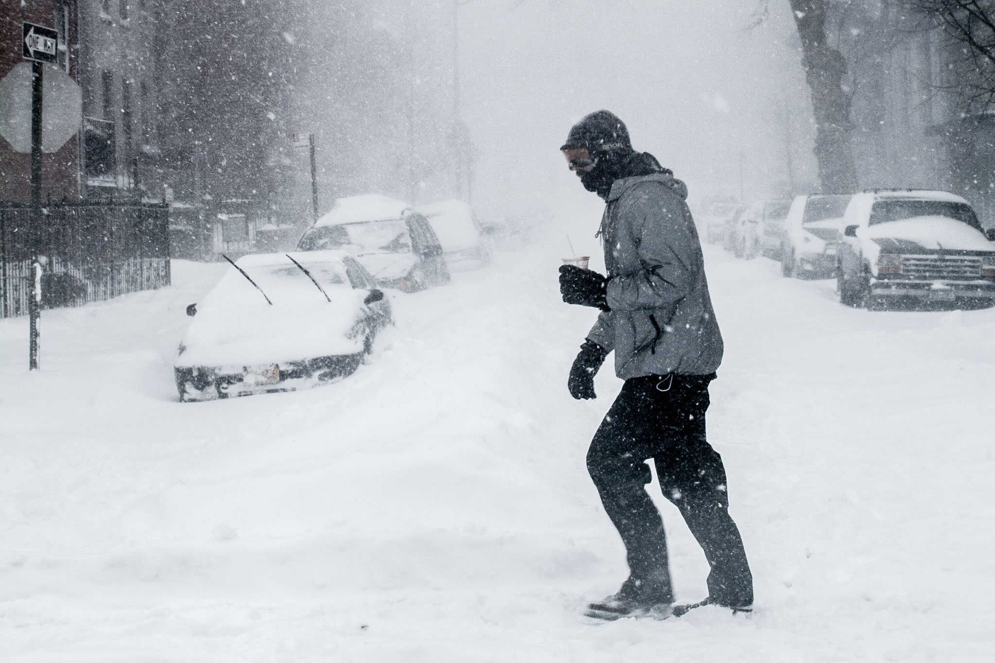
Up to 25 cm of snow expected in some parts of Ontario
Published January 8, 2024 at 7:48 am
A winter storm watch is in effect for some areas of Ontario this week.
The winter storm is expected to start tomorrow (Jan. 9) with snow and blowing snow plus rain across southern Ontario and in parts of northeast Ontario, according to Environment Canada.
Environment Canada issued the winter storm watch for areas north of the GTA including Huntsville, Parry Sound, and the east including the Ottawa area.
The storm could bring 15 to 25 centimetres of snow.
The weather is expected to arrive Tuesday afternoon and continue into Wednesday morning, according to Environment Canada.
There is a risk of ice pellets and freezing rain Tuesday night, with a complete changeover to rain possible for areas close to Georgian Bay.
Videos


There is the potential for an “impactful winter storm with heavy snow, ice pellets, and freezing rain,” the statement reads.
But the exact track of the weather system is still somewhat uncertain.
The watch could be upgraded to a warning tomorrow.
A lower-level, winter storm statement is in effect for other parts southern Ontario including Caledon, Barrie and areas just north of the GTA.
There is a risk of 10 to 15 centimetres of snow, with locally higher amounts possible and a risk of freezing rain starting Tuesday.
The rapidly accumulating snow could make travel difficult over some parts of Ontario.
Currently, there are no statements for Mississauga, Halton, Brampton, Niagara and Hamilton.
But this part of southern Ontario will get rain changing to snow with from two to five centimetres expected starting on Tuesday and continuing into Wednesday.
Significant Weather Outlooks 👇
Tuesday – Snow, blowing snow and rain across S Ontario and parts of the NE.
Wednesday – Snow, blowing snow in the NE. Snow, rain and freezing rain in the E.
Thursday – Snow and blowing snow over part of S ON.#ONwx #ONStorm pic.twitter.com/IgDsbh1tFA— ECCC Weather Ontario (@ECCCWeatherON) January 7, 2024
Photo: Flow Clark
INsauga's Editorial Standards and Policies