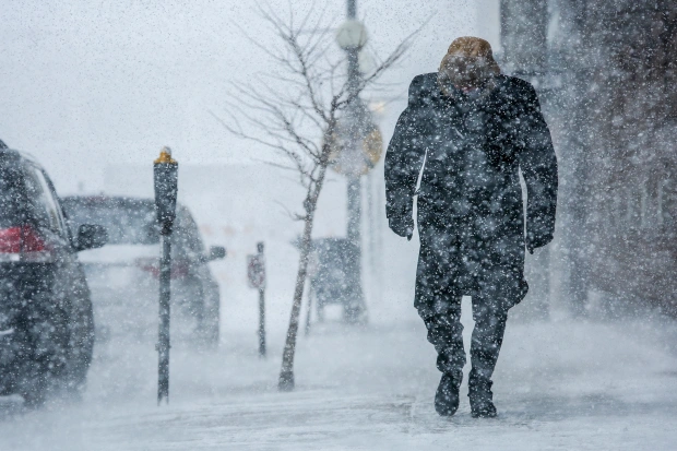
Up to 15 centimetres of snow is expected to blanket southern Ontario later this week with a system expected to move across the GTA from Hamilton all the way to Oshawa.
Environment Canada released a weather warning on Dec. 13, calling for snow to begin to fall Thursday. The snow is expected to continue falling throughout the night.
An updated alert on Dec. 14, said strong wind gusts are expected to begin early Thursday morning and persist until Thursday evening. Snow is expected late Thursday morning. A period of freezing rain will be possible Thursday morning through early Thursday afternoon followed by a transition to heavy snow.
The heavy blowing snow is expected to reduce visibility throughout Thursday night and early Friday morning, affecting commute times. Environment Canada warned motorists to postpone non-essential until the snow clears up.
Durham Region
The most snow is expected to hit Oshawa and Pickering reaching the 15 cm peak.
The snowfall will be caused by a low-pressure system travelling across southern Ontario. It could cause even more snow than the expect 15 cm, but Environment Canada says it’s unlikely.
Closer to the Lakeshore, less snowfall is expected, and it may turn out to be rain.
Peel Region
Mississauga, Brampton and Caledon are set to get hit as well, but less snow is expected at around 10 cm. However, while they may get less snow, Mississauga and Brampton will likely see much stronger winds. Gusts could reach 70 km/h, particularly by the shore of Lake Ontario.
Halton Region
Burlington, Halton Hills, Milton and Oakville are also set to see the system. However, Halton Region is more likely to receive a wintry mix of around five cm of snow and freezing rain. Winds will be fierce here as well, reaching up to 80 km/h.
Here the storm will likely start as freezing rain before transitioning into snow in the afternoon. The rain will likely cause slick, icy roads. In concert with the strong winds, the ice build-up could damage trees and power infrastructure causing outages.
The system isn’t expected to last as long in Halton stopping by Thursday night.
Hamilton
Hamilton is set to see a similar mix of wintery weather as Halton. The system will likely start as freezing rain and transition to about 5 cm of snow later on. Winds will reach up to 80 km/h in the city as well.
As in Halton, the combination of ice build-up and strong wind could damage trees and powerlines, potentially causing power outages.
The system will hit Hamilton first. Starting on Thursday morning and tapering off by the afternoon.
PollView All
WIN A $100 GIFT CARD
Subscribe to INsauga’s daily email newsletter for a chance to win a $100 Amazon gift card.