
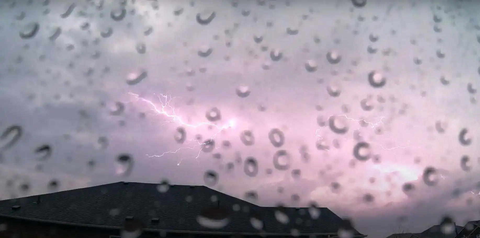
Parts of southern Ontario got hit with strong thunderstorms overnight and another round is set to hit portions of the region.
Environment Canada issued a thunderstorm outlook for Tuesday which says that southwestern Ontario and portions of the Golden Horseshoe (location A on the map below) will see the worst of it.
There’s even a chance for tornadoes, but Environment Canada said it’s “fairly low.”
The storms are expected late Tuesday afternoon and evening.
“A line or area of strong thunderstorms is expected to develop and move east across portions of southern Ontario,” forecasters said.
“The main threats are wind gusts up to 90 km/h and up to toonie size hail. The chance for tornadoes is fairly low but cannot be ruled out.”
-
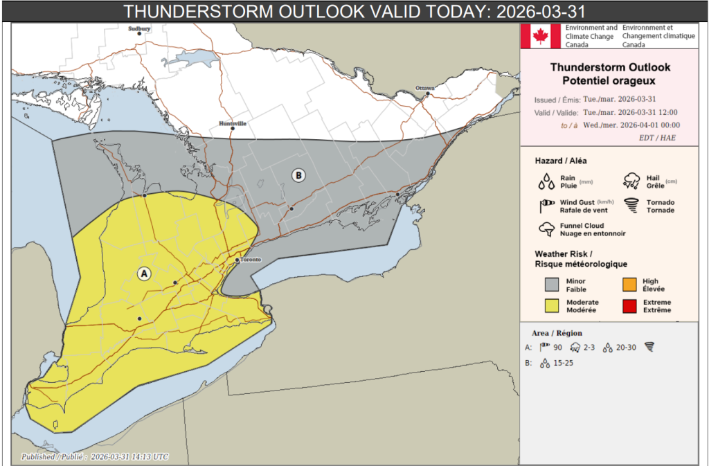
- Thunderstorm outlook for late Tuesday afternoon and evening. (Environment Canada)

Up to 30 mm of rain is possible locally.
Broken branches, downed trees, damage to property, and flooding in low-lying areas are possible.
Further north, for parts of southern Ontario from Wiarton towards Kingston (location B), thunderstorms aren’t expected to be as strong, but may still cause heavy downpours, leading to flooding in low-lying areas, Environment Canada said.
Up to 25 mm is possible there.
INsauga's Editorial Standards and PoliciesPollView All
WIN A $100 GIFT CARD
Subscribe to INsauga’s daily email newsletter for a chance to win a $100 Amazon gift card.