
Snow squall watch issued for Niagara Region
Published December 16, 2022 at 7:49 am
A snow squall watch is now in effect for Niagara Falls, Welland, and the southern Niagara Region.
Total snowfall amounts could approach 25 cm over areas from Port Colborne and east towards the international border, including Fort Erie, according to Environment Canada.
The snowfall could start overnight tonight (Dec. 16) and continue into Saturday.
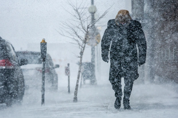
There could be reduced visibility due to heavy snow and blowing snow.
The highest amounts of snow are expected over the Port Colborne area and east toward the international border.
Southwesterly wind gusts near 50 km/h Saturday night are also expected to result in blowing snow.
Videos


The snow squalls are expected to move south of the area Sunday morning.
Travel may be hazardous due to sudden changes in the weather. Surfaces such as highways, roads, walkways and parking lots may become difficult to navigate due to accumulating snow.
INsauga's Editorial Standards and Policies