
Snow squall watch in effect in Niagara Falls, Welland and Southern Niagara Region
Published November 17, 2022 at 6:26 pm
A snow squall watch in effect for:
- Niagara Falls
- Welland
- Southern Niagara Region
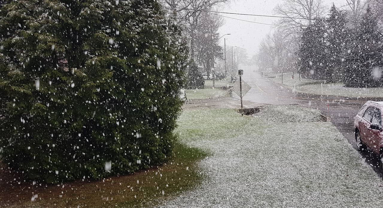
Conditions are favourable for a prolonged period of significant lake effect snow squalls off of Lake Erie tonight through this weekend. Extremely dangerous travel is expected within these snow squalls.
Local snowfall accumulations of 30 to 60 cm by Sunday morning. Higher amounts are possible in the most persistent snow squalls. Visibilities may be reduced to near zero in heavy snow and local blowing snow.
Tonight through early Sunday morning. Snow squalls may drift south of the area for a time on Friday before lifting back north Friday night into Saturday.
An intense snow squall is expected to develop over Lake Erie tonight and may impact parts of southern Niagara through Friday morning, and again Friday night into Saturday.
At this time, the highest accumulations are most likely in the Fort Erie area.
Videos


Snow squalls cause weather conditions to vary considerably; changes from clear skies to heavy snow within just a few kilometres are common. Road closures are possible. Consider postponing non-essential travel until conditions improve.
If you must travel, keep others informed of your schedule and destination and carry an emergency kit and mobile phone. Public Safety Canada encourages everyone to make an emergency plan and get an emergency kit with drinking water, food, medicine, a first-aid kit and a flashlight.
INsauga's Editorial Standards and Policies