
Report card offers mixed results for watershed in Hamilton, Burlington, Oakville, Milton
Published March 23, 2023 at 4:22 pm
Conservation Halton has released its report card on the watershed in Burlington, Oakville, Milton, Halton Hills and Hamilton and grades range from A to F.
The report on the state of Ontario’s watersheds so residents are aware of their local conditions and also so that informed decisions can be made to ensure the ongoing resiliency and sustainability of local water and land resources.
A watershed is the area of land that is drained by a river, creek, stream or other body of water. Similar to the branches of a tree, streams are connected and each drains into a larger branch until it finally reaches its connection with a lake or other large body of water. As a result, all parts of the watershed are connected and what happens in the upstream portion of the watershed affects ecological health downstream.
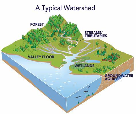
Within the Conservation Halton jurisdiction there are three major watersheds – Sixteen Mile Creek, Bronte Creek and Grindstone Creek – with an additional 14 smaller watersheds located primarily within the urban areas of Burlington and Oakville.
All of the watersheds drain into Lake Ontario, either directly or through Hamilton Harbour.
Videos


Within each group, grades ranged from A to F in all three categories. Here are the overall grades:
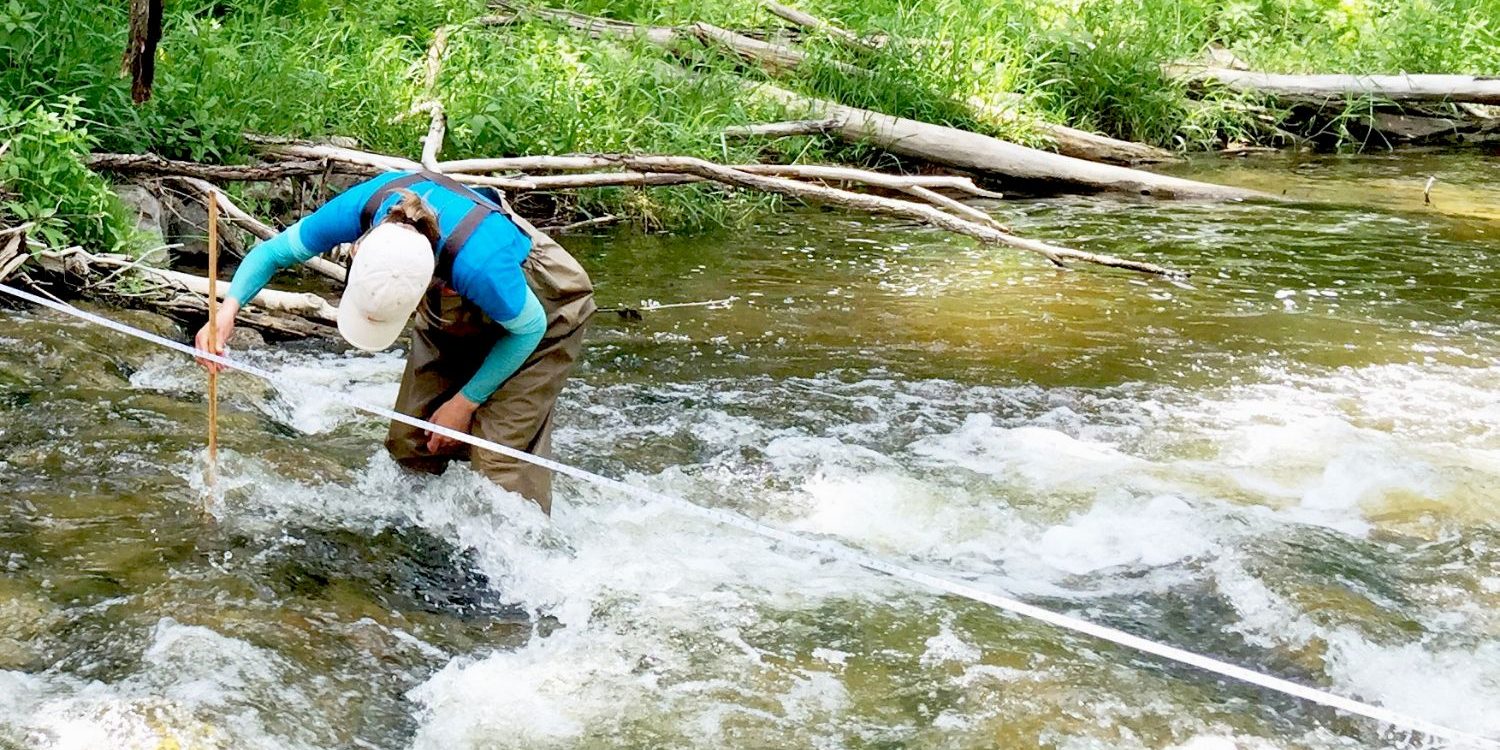
Surface Water Quality: C
Grades for surface water quality are based on chemical (phosphorus concentrations) and biological (benthic invertebrates) indicators of water quality across the watershed.
Forest Conditions: D
Grades are based on the percentage of forest cover, interior forest cover (forest cover 100m from the forest edge) and stream-side vegetation that is forested. Stream-side forests in particular help improve water quality.
Groundwater Quality: A
Grades for groundwater quality are based on concentrations of nitrite and chloride levels at 10 groundwater wells across the Conservation Halton watershed. Wells have been monitored for the past 21 years
Overall, water quality throughout Conservation Halton’s watersheds range from B (Good) to F (Very poor), with the best water quality found in headwater areas.
Water quality conditions usually deteriorate as the streams flow through the lower watershed with increased human influences and effects.
Elevated nutrient concentrations and decreased vegetative cover adversely affect water quality.
Here is a list of things you can do to protect your local watershed and your own health:
- Conserve water by using a rain barrel, planting hardier native plant species, not watering your lawn or driveways, watering gardens less frequently, use low flow household products, and repair leaks and drips
- Don’t use fertilizers or pesticides
- Dispose of hazardous products properly
- Allow trees and shrubs to grow along the edges of ponds, streams, rivers, and lakes
- Keep your septic system in good working order to avoid contaminating groundwater and nearby water bodies
- Plant trees and shrubs to control runoff and soil erosion, improve water quality, and help clean the air
- Decommission any older, unused rural wells that can provide a direct pathway to groundwater
- Don’t pour anything down storm drains because everything entering storm drains goes directly to local creeks, rivers, streams, ponds and lakes
For more information, or to view the full report card, visit here.
insauga's Editorial Standards and Policies advertising