
New interactive map shows where construction is being done in Mississauga and Brampton
Published June 9, 2022 at 2:42 pm
A new interactive map from the Region of Peel aims to help residents avoid any surprise construction while travelling in Mississauga and Brampton.
Released earlier this year, the Capital Projects in Peel map lets users take a look at where construction projects are happening related to water, wastewater, and regional roadways.
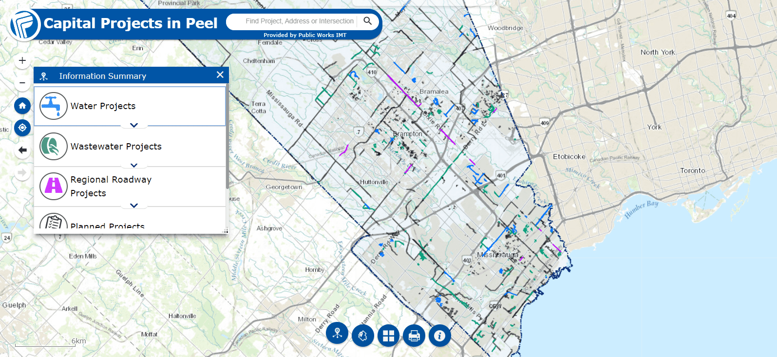
Users can search by address and intersection to find construction projects happening near their location, or search for specific projects to get a description of the work being done.
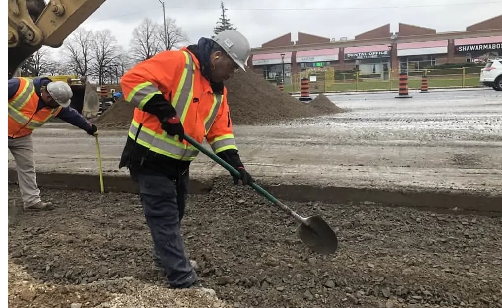
“As the Region grows, and to ensure continued provision of high quality and reliable services, construction is needed to build new infrastructure and update and maintain Peel’s watermains, sewers and roads,” says a report presented to Regional Council today (June 9).
“While these projects are necessary, they can have significant temporary impacts on the residents and businesses within the construction zones.”
Videos


The interactive map is believed to be a more convenient way for residents to quickly see all construction projects, rather than having to filter through hundreds of construction projects first by city or town, and then by street name.
Public Works currently delivers essential services to over 1.5 million residents and 175,000 businesses in Mississauga, Brampton, and Caledon.
Regional staff will be collecting feedback on the map from both residents and staff “to assess functionality and identify opportunities for enhancement.”
The map can be accessed here.
insauga's Editorial Standards and Policies advertising