There are snowfall, freezing rain warnings, and weather advisories in effect for Mississauga, Brampton, Hamilton, Halton, and Durham Region as a winter storm is expected to hit much of southern Ontario today (Dec. 15).
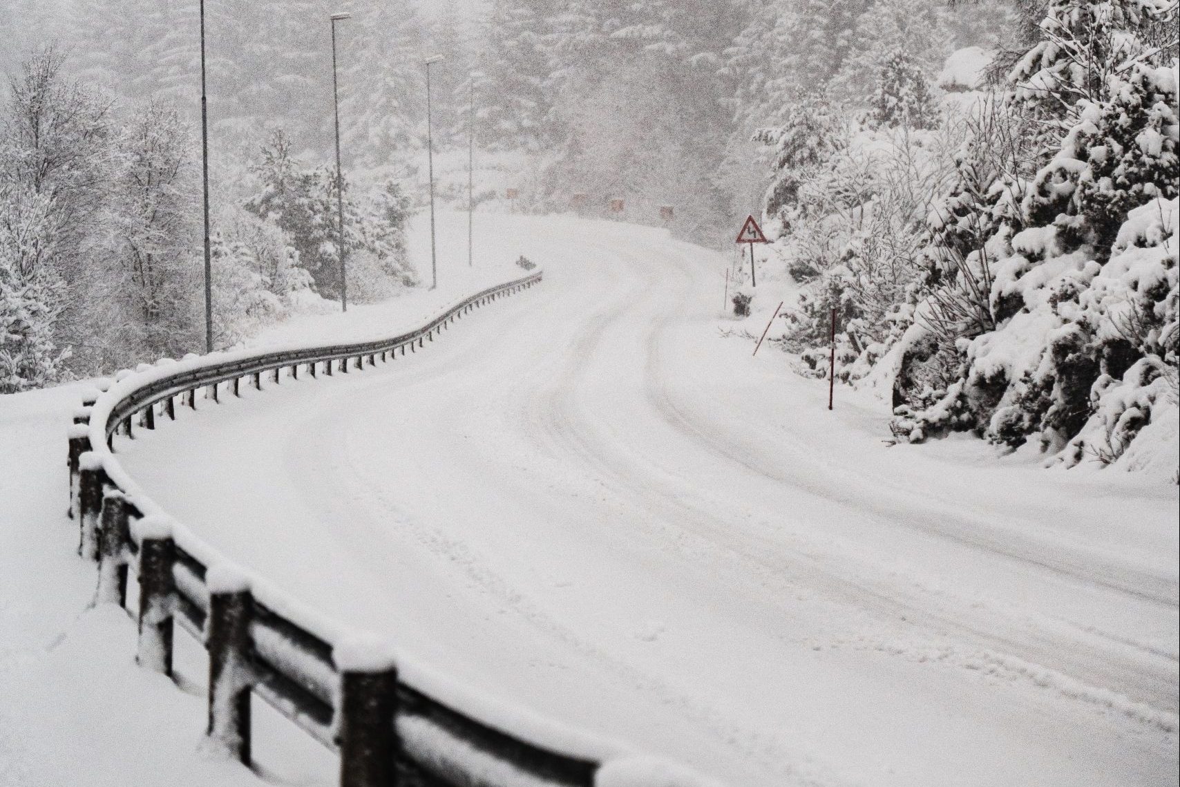
The snow is expected to make for a messy afternoon commute across the GTA and beyond, as Environment Canada has issued warnings and advisories for many cities and regions.
School boards in York, Peel and Halton have cancelled school buses, while GO Transit and Pearson International Airport both told passengers to check ahead for possible weather-related disruptions.
Here are the latest Ontario snow storm updates:
Mississauga and Brampton
A winter weather travel advisory in effect for Mississauga and Brampton. Environment Canada says to expect snowfall of up to 10 cm and up to 15 cm, with peak snowfall rates of 1 to 3 cm per hour.
There is a risk of freezing rain, and blowing snow is expected to reduce visibility with southeasterly wind gusting nearly 70 km/h.
“Motorists should expect hazardous winter driving conditions and adjust travel plans accordingly,” Environment Canada said. “If visibility is reduced while driving, turn on your lights and maintain a safe following distance. Surfaces such as highways, roads, walkways and parking lots may become icy and slippery. There may be a significant impact on rush hour traffic in urban areas.”
Brief freezing rain is possible in the morning, transitioning to snow near noon. Environment Canada says the snow will taper to flurries or drizzle early in the evening.
Hamilton
There is a freezing rain warning in effect for Hamilton. Environment Canada freezing rain or ice pellets are expected in the morning before transitioning to rain or snow early this afternoon.
Surfaces such as highways, roads, walkways and parking lots may become icy and slippery. Environment Canada is warning to take extra care when walking or driving in affected areas, and there may be a significant impact on rush hour traffic in urban areas.
Halton
Burlington, Oakville, Halton Hills and Milton are all under a freezing rain warning. Between 5 to 10 cm of snow is expected in some areas as freezing rain turns to snow in the afternoon. Environment Canada is warning to take extra care when walking or driving in affected areas, and there may be a significant impact on rush hour traffic in urban areas.
Durham
Pickering, Oshawa, Southern Durham Region, Uxbridge, Beaverton and Northern Durham Region are all under a significant snowfall warning.
Environment Canada is forecasting between 15 to 20 cm of snow, with the greatest amounts expected over the higher terrain north of Lake Ontario. Snow will develop late in the morning and reach the Peterborough to Cobourg areas by early in the afternoon, tapering into flurries by Friday morning.
Drivers are being warned to be prepared to adjust your driving with changing road conditions.
The storm is expected to move eastward dumping up to 20 centimetres of snow on areas along Lake Ontario’s north shore before landing in Ottawa tonight, where Environment Canada is forecasting up to 25 centimetres of accumulated snow by Saturday morning.
For road conditions and other traveller information from the Ministry of Transportation, visit www.ontario.ca/511, www.twitter.com/511Ontario, or call 5-1-1.
INsauga's Editorial Standards and PoliciesPollView All
WIN A $100 GIFT CARD
Subscribe to INsauga’s daily email newsletter for a chance to win a $100 Amazon gift card.