
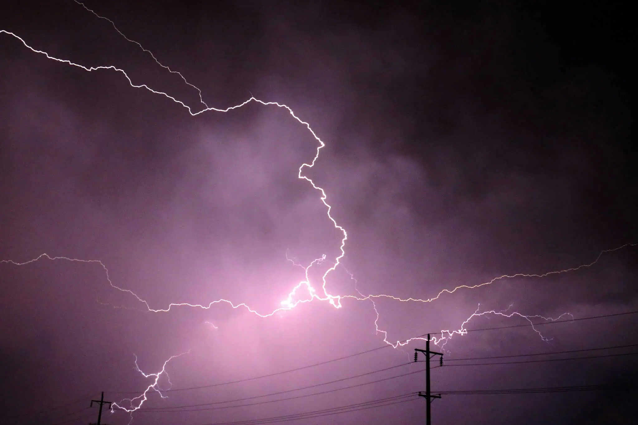
Tuesday is expected to bring a risk of thunderstorms in the Greater Toronto Area with up to 60 mm of rainfall in parts of southern Ontario.
Yellow thunderstorm watches were issued for parts of the province on Monday with rain expected into Tuesday. Environment Canada says the morning will bring showers followed by a risk of thunderstorms in Toronto, Mississauga, Brampton, Hamilton, Oshawa and the Niagara Falls area.
Toronto, Mississauga and Brampton could see up to 25 mm of rainfall during the day, with up to 30 mm in Pickering and Oshawa. The daytime high is expected to be around 27 C in Mississauga but could feel more like 33 C due to the humidity. The normals for this time of year in Mississauga are between 15 C and 26 C.
The UV index will be 3 or “moderate,” the weather agency says.
Tuesday night will be cloudy and could bring more showers and thunderstorms with another 30 mm of rainfall to Oshawa, Pickering, Smiths Falls, Western Lanark County and elsewhere in the province.
Conditions in the GTA will be cloudy with a north wind blowing around 30 km/h with gusts up to 50 km/h. The overnight low will be around 16 C in Mississauga and 18 C in Toronto.
Looking ahead to Wednesday, more cloudy conditions are expected in Mississauga with a 40 per cent chance of showers during the day and a high of 25 C. Skies should clear in the evening with a low of 14 C expected.
Thursday is expected to bring sunny skies to the GTA with a high of 27 C and a low of 15 C in the evening.
INsauga's Editorial Standards and PoliciesPollView All
WIN A $100 GIFT CARD
Subscribe to INsauga’s daily email newsletter for a chance to win a $100 Amazon gift card.