
High winds a double-whammy in Niagara Falls, St. Catharines and rest of Niagara Region
Published November 21, 2022 at 11:44 am
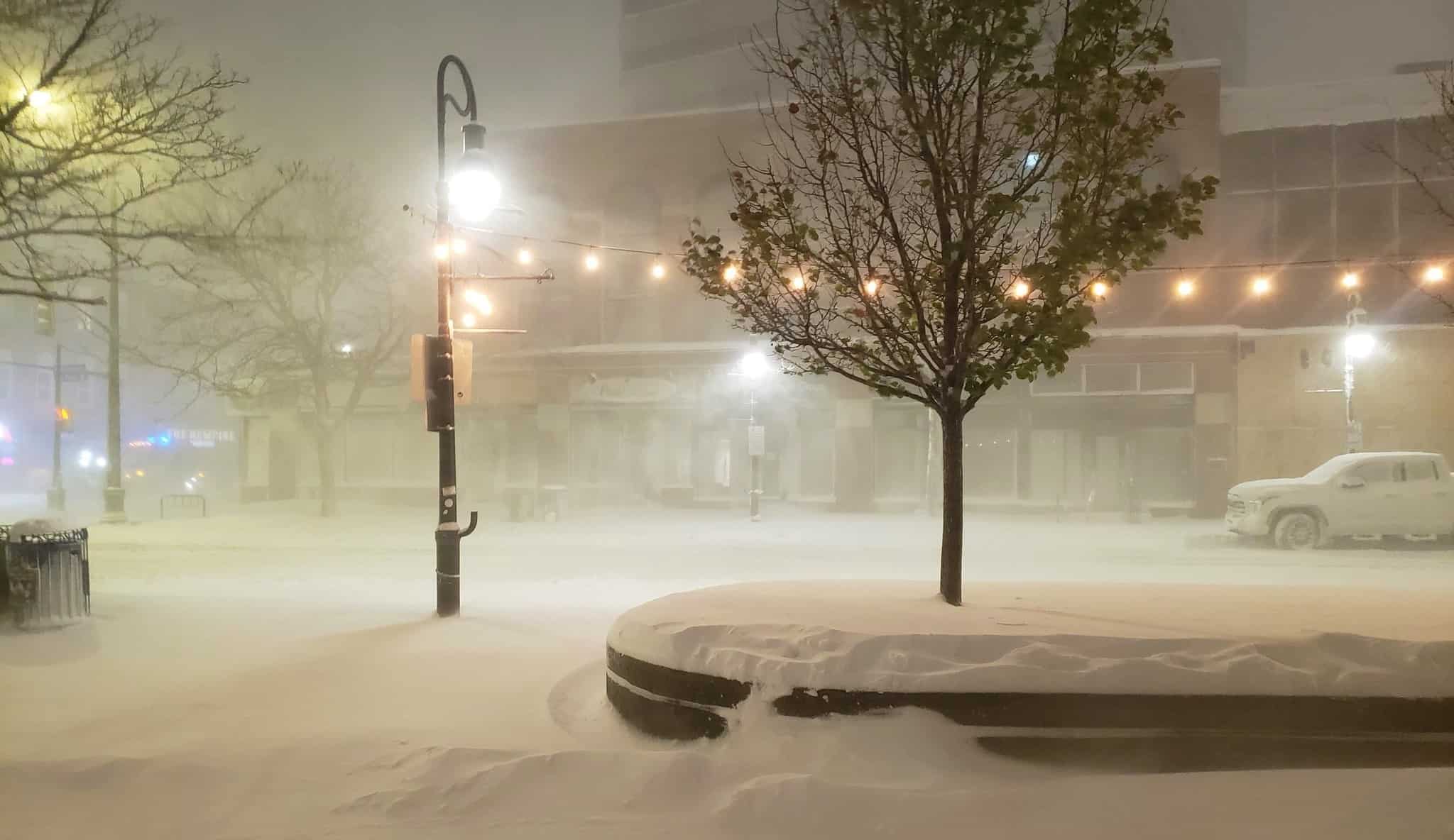
St. Catharines, Niagara Falls and the balance of Niagara Region are getting blown away with high winds today (November 21) and the effect is two-fold.
First up, the heavy snow that fell on Friday and Saturday throughout the region is being blown around in some areas, particularly those municipalities on the Lake Erie side (Wainfleet, Welland, Port Coborne and Fort Erie), making visibility an issue at times.
Secondly, despite the fact that every Niagara municipality is seeing plus temperatures today – anywhere from 3C to 5C – the windchill factor has dropped all areas to well below zero – somewhere in the minus-3C to minus-6C area.
Environment Canada is calling for strong southwesterly winds with gusts up to 80 km/h hit Niagara all day long and it won’t stop until later this evening, particularly in the Lake Erie area.
The weather agency warns, “Loose objects may be tossed by the wind and cause injury or damage. Isolated power outages are possible.”
insauga's Editorial Standards and Policies advertising