


Flood planning for parts of Burlington and Oakville topic of online forum
Published June 6, 2023 at 9:13 am
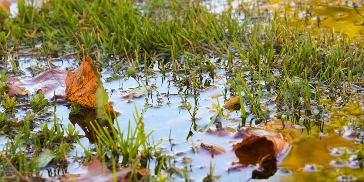
Flooding, and what it means to Burlington and Oakville residents will be the topic of an online public forum tonight (June 6).
Presented by Conservation Halton, the forum will be the publics’ first opportunity to learn about the agency’s updated flood hazard mapping for creeks that flow through east Burlington and southwest Oakville. The creeks include Appleby, Shoreacres, Tuck and Sheldon.
According to Conservation Halton, the updating of the mapping system assists with flood planning and forecasting as well as developing warning systems for those who live near water systems during extreme weather situations.
During the online session Conservation Halton staff will talk about the update work that is being carried out and the public will be able to ask questions.
After the forum takes place conservation staff will review public feedback and make further revisions to the study if necessary.
The meeting starts at 7 p.m. and you can register for the online session through this link.
More information about the plan you can visit Conservation Halton Mapping and Studies.
inhalton's Editorial Standards and Policies advertising