A regional trail network proposed between Pickering and Oshawa to create an east–west active transportation route link all the way to the Rouge River has passed the next hurdle, with four Durham Region communities agreeing to a cost-sharing model for the design study.
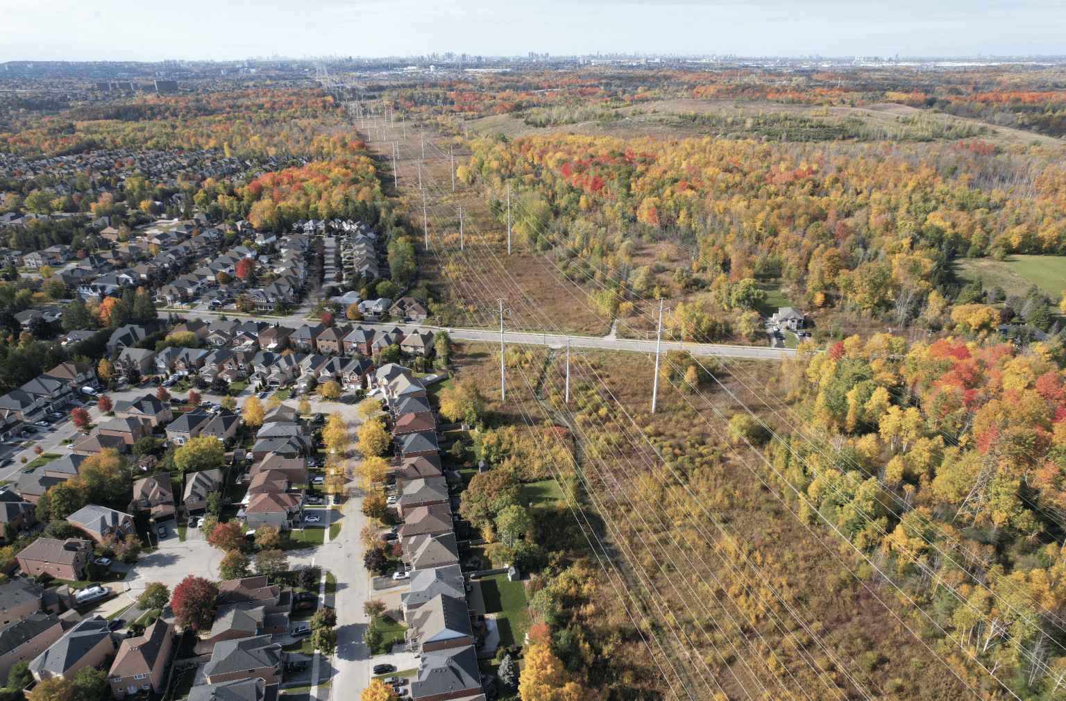
First proposed as a transportation corridor and greenspace connecting Rouge National Urban Park in Pickering to Simcoe Street in Oshawa in late 2022, the Durham Meadoway will connect the municipalities along a 27.76-kilometre trail, generally using the hydro corridor lands, with multi-use paths along roadways filling in the gaps to create a continuous route.
The Region of Durham leads the project management and procurement of the Preliminary Design Study. The region would contribute 20 per cent of the total study cost, estimated at $240,000, while the remainder would be shared proportionally between Pickering, Ajax, Whitby and Oshawa.
Municipality Cost Share:
- City of Pickering $310,442 (25.87 per cent)
- Town of Ajax $119,292 (9.94 per cent)
- Town of Whitby $304,779 (25.4 per cent)
- City of Oshawa $225,487 (18.79 per cent)
- Region of Durham $240,000 (20 per cent)
- Total cost $1.2 million
A Visioning Study on the project was completed in 2024 and the region and the four participating municipalities are ready to move forward with the preliminary design work, which will provide sufficient design and background materials to identify future capital costs and tender specific sections of the Meadoway for detailed design and construction – including road crossings.
Durham Region wants to issue a Request for Proposals for the Preliminary Design Study this fall. Once a consultant is retained the study is anticipated to be completed within18 months.
Toronto planning and design firm SvN Architects + Planners developed the visioning study for the 27-kilometre ‘under-leveraged’ Durham Meadoway, which extends across four municipalities, 23 neighbourhoods, a 400-series highway, a golf course, conservation areas and numerous creeks, trails and arterial roads.
“The scale of this corridor is simply immense,” said SVN Architects + Planners Principal Jonathan Tinney in 2022. “The changes in topography, landscape characteristics, land use and ownership make this a very complex project. But that complexity and scale mean this project has the potential to define a new identity for Durham Region by reimaging a single-use infrastructure corridor into a multi-faceted space for people.”
Durham Chair John Henry said at the time the study will be about “utilizing our hydro corridors to connect to our trailways,” adding that the work will also tie into a similar project happening in Scarborough that will eventually allow people to travel from Oshawa to downtown Toronto without ever leaving nature behind.
“People can walk, ride a bike or jog, but the opportunity is there to go from Oshawa to Pickering – it will connect our communities along Taunton Road,” he said.
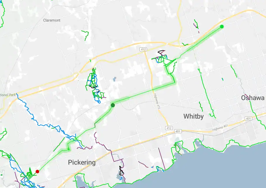
Durham Meadoway will run west from Simcoe at Winchester Road into Whitby before looping south near Cochrane Street to Taunton Road where it proceeds west – mostly on the south side – before making another southerly swing at Westney Road in Ajax, connecting with existing pathways along the way. At Rossland Road it makes its final push into Pickering where it eventually connects with the Rouge Park at the Pickering-Scarborough border.
PollView All
WIN A $100 GIFT CARD
Subscribe to INsauga’s daily email newsletter for a chance to win a $100 Amazon gift card.