
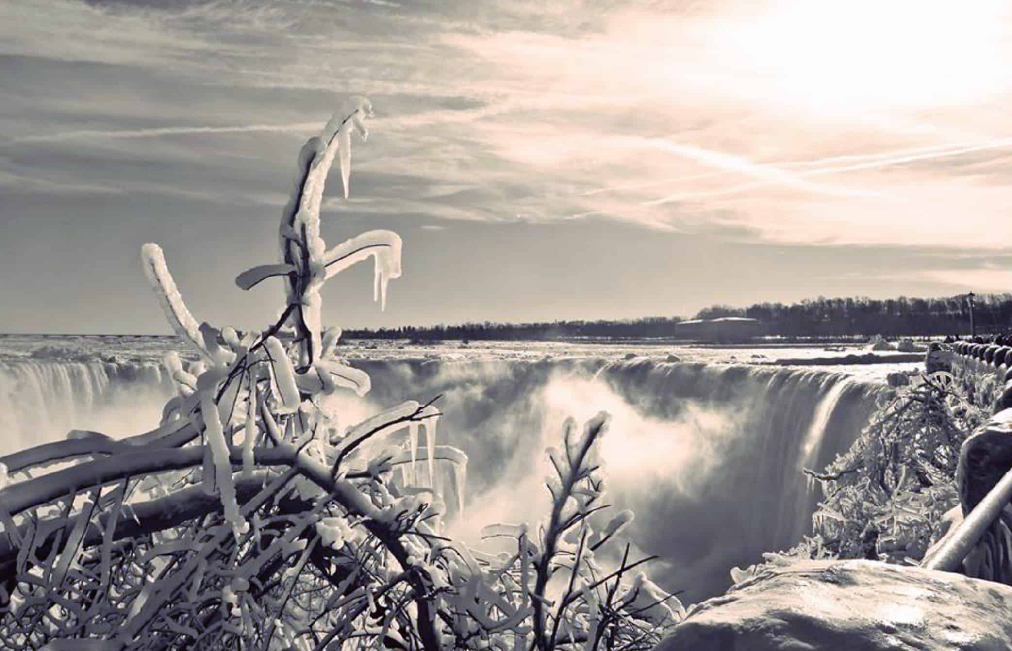
Blizzard along with 120km winds coming to Niagara Falls, Welland and Niagara Region
Published December 21, 2022 at 8:59 pm
A winter storm watch in effect for:
- Niagara Falls
- Welland
- Southern Niagara Region
There will be a major winter storm expected in the Niagara Region late this week into the holiday weekend.
There will be flash freeze producing icy and slippery surfaces. Damaging wind gusts of 100 to 120 km/h along with blizzard conditions. Local snowfall amounts of 10 to 15 cm by Friday evening.
The Flash freeze will occur Friday morning while the damaging winds will develop Friday morning and continuing into Saturday.
Blizzard conditions developing later Friday morning and potentially continuing into Saturday.
Precipitation may begin as rain or snow late Thursday afternoon before transitioning to rain Thursday night. Temperatures are expected to plummet early Friday morning leading to a potential flash freeze.
Videos


Rapidly falling temperatures will be accompanied by damaging winds along with snow heavy at times. Blizzard conditions are likely to develop later Friday morning or early Friday afternoon as lake enhanced snow off Lake Erie strengthens.
Avoid travel if possible. Rapidly accumulating snow could make travel difficult over some locations. Travel is expected to be hazardous due to reduced visibility in some locations. Surfaces such as highways, roads, walkways and parking lots may become icy and slippery.
Public Safety Canada encourages everyone to make an emergency plan and get an emergency kit with drinking water, food, medicine, a first-aid kit and a flashlight. For information on emergency plans and kits go to http://www.getprepared.gc.ca.
INsauga's Editorial Standards and Policies