
Winter storm watch in effect for Mississauga, Brampton, Halton and Niagara
Published March 2, 2023 at 11:56 am
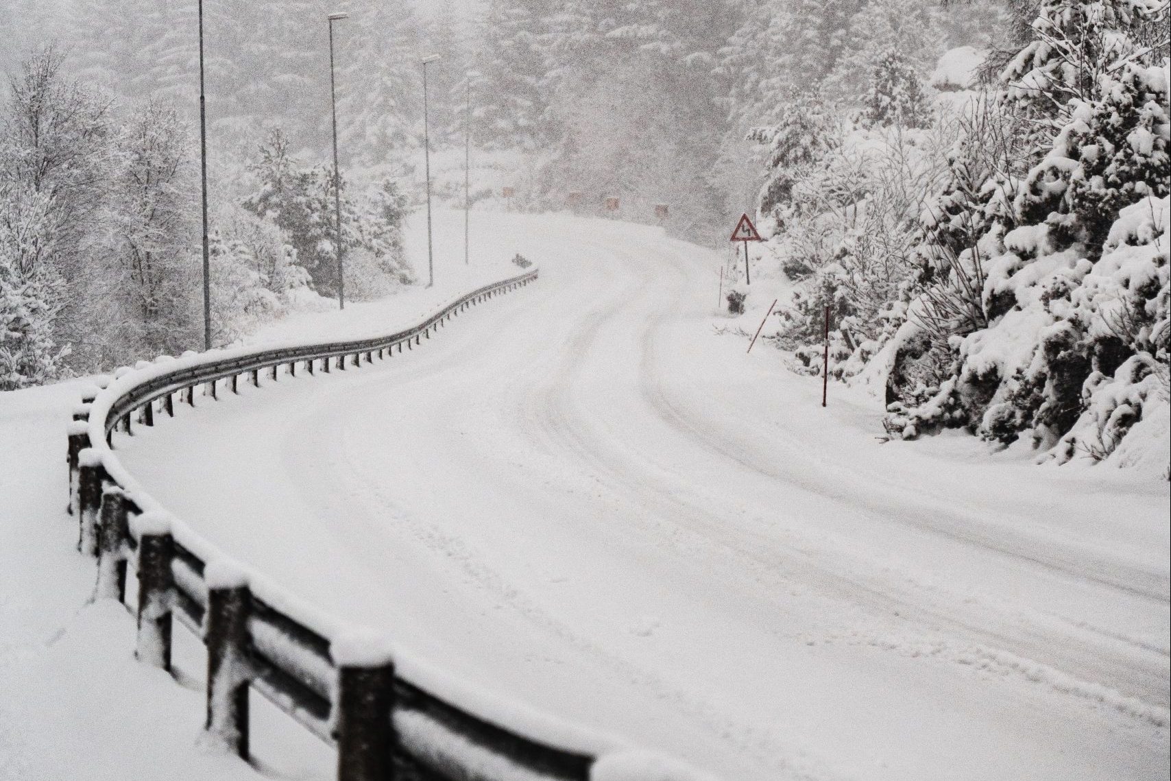
A winter storm watch is in effect for Mississauga, Brampton, Halton and Niagara as those areas and other locations across the GTA brace for yet another winter blast that’s expected to arrive on Friday night.
Environment Canada issued the widespread weather alert just before 10:30 a.m. this morning (March 2), advising that heavy and blowing snow will significantly reduce visibility for drivers on highways and other routes, starting tomorrow evening and continuing into Saturday morning.
Areas including Mississauga, Brampton, Caledon, Oakville, Burlington, Milton, Halton Hills, Hamilton and Niagara in addition to Toronto, York and the Oshawa/Durham region can expect anywhere from 15 to 20 centimetres of snow in addition to potentially dangerous winter conditions.
“Rapidly accumulating snowfall creating hazardous travel conditions,” reads part of the storm watch/alert from Environment Canada.
“A Texas low is expected to bring heavy snow and strong winds to a large swath of southern Ontario,” the alert continues. “Snow will begin Friday evening and quickly become heavy at times. Heavy snow in combination with strong easterly winds will create significantly reduced visibility and hazardous travel conditions.
“There remains some uncertainty at this point to the placement of the heaviest snow. Winter storm warnings or snowfall warnings may be issued as the event draws nearer.”
Videos


Environment Canada adds that surfaces such as highways, local roads, walkways/sidewalks and parking lots will likely become icy and slippery.
INsauga's Editorial Standards and Policies