
A Major Winter Weather Shift is Coming to Mississauga
Published December 6, 2017 at 2:44 pm
Although few people complain about mild winter weather, the fact remains that it’s not yet beginning to look like Christmas.
Well, that could change.
According to a recent Weather Network report, the mild winter weather that many have been enjoying might change quite dramatically. In the report, the weather agency says that how long we’ll have to wait for more typical December weather depends on how an “upcoming pattern change will shake up the map.”
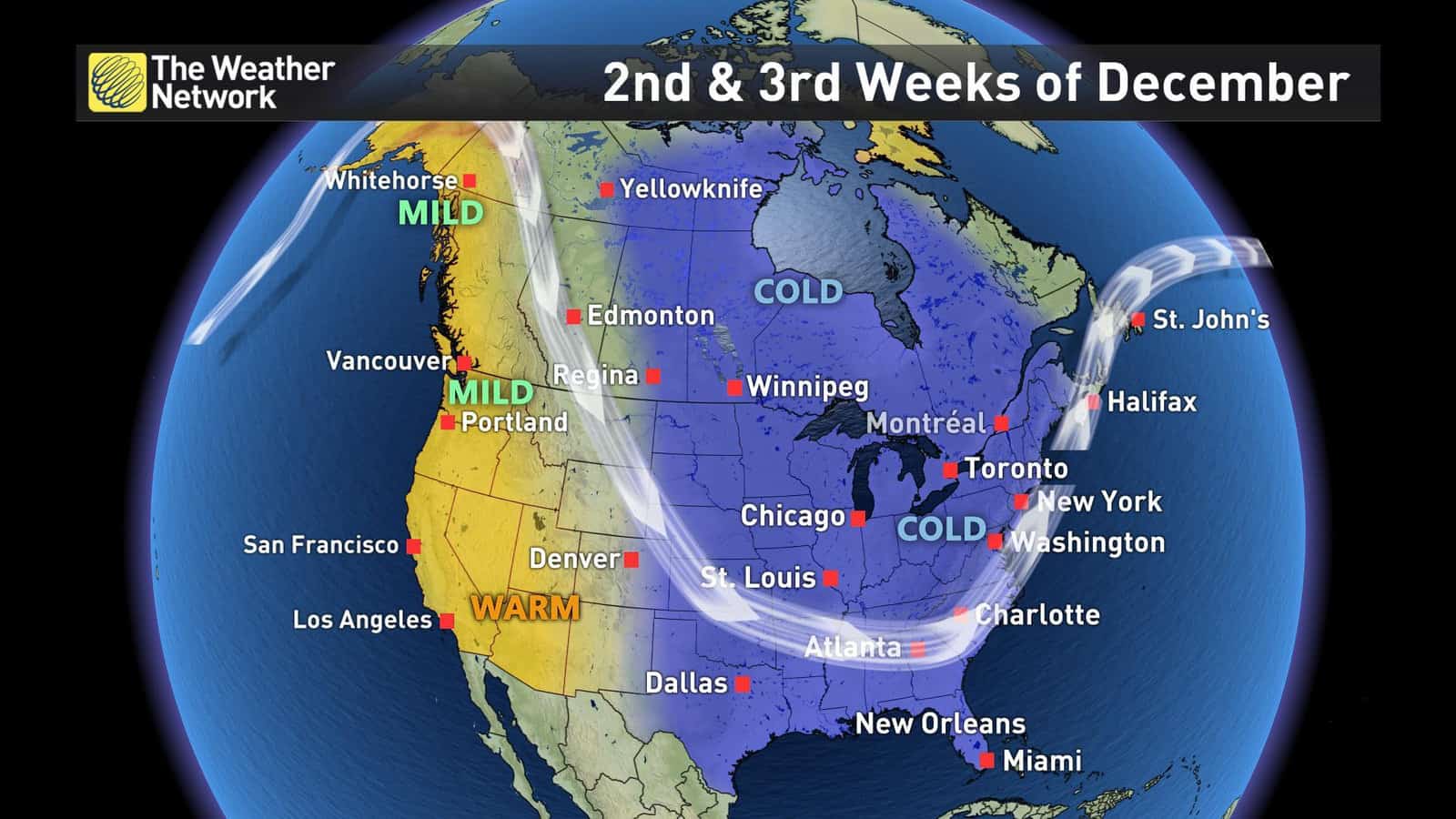
The Weather Network says the change will begin this week with a developing ridge over the Gulf of Alaska.
“As high pressure builds, the jet stream will deflect northward. On the downstream side of this feature, a northwesterly flow will develop, opening the door for Arctic air to spill across the continent.”
Videos


That means it’s going to get cold.
In our neck of the woods, the first round of colder weather will treat us to typical mid-December temperatures. That said, the report indicates that it will be cold enough for “bands of lake-effect snow in the traditional snow belt areas and into Niagara as well.”
We can also look forward to to the fact that “several reinforcing shots of Arctic air will invade the region as we head towards mid-December.”
According the report, this will result in “several high impact lake-effect snow events.”
The Weather Network also says a few clippers are likely, which will bring more widespread snow at times to areas outside of the lake effect snow belts.
So there you have it–it does look like winter is indeed coming.
Perhaps a white Christmas is in the cards?
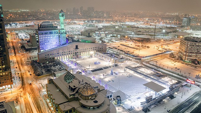
Cover photo courtesy of @gualdjouma
insauga's Editorial Standards and Policies advertising