
A Flood Watch is Now in Effect for Mississauga
Published March 15, 2019 at 6:43 pm
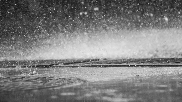
If you were planning on spending time outdoors this weekend, you might want to avoid waterways.
Credit Valley Conservation (CVC) says the current forecast indicates that less than 5 mm of rain is expected for today with temperatures falling to below freezing later this evening. The amount of rain the region has received over the last two days varies across the watershed from 8 to 15mm.
A significant amount of snow melt had also taken place.
CVC says the rain and warm temperatures have resulted in high runoff. Flooding of low lying areas was observed in Wellington County, Caledon and Orangeville. Flooding is expected to continue throughout the watershed as the Credit River and its major tributaries have not peaked.
According to CVC, the combination of warm temperatures and high runoff resulted in the mobilization of ice along the Credit River. River ice continues to move downstream towards, and collect, at the Barber (Paper) Mill dam. The Credit River from Cheltenham through Glen Williams remains at risk due to possible ice jams. The potential of the collected ice overtopping the Barber Mill dam still exists. The ice jam in Meadowvale broke loose early this morning without any incident.
The rain and melt have resulted in higher than normal water levels, and an ice jam breaking loose will create extremely hazardous conditions. Local streams and rivers are currently very dangerous, especially in the vicinity of culverts, bridges and dams.
Videos


Residents are reminded to keep children and pets away from all watercourses.
If you are concerned about flooding in your area, contact your city. If you encounter an emergency, call 911.
insauga's Editorial Standards and Policies advertising