
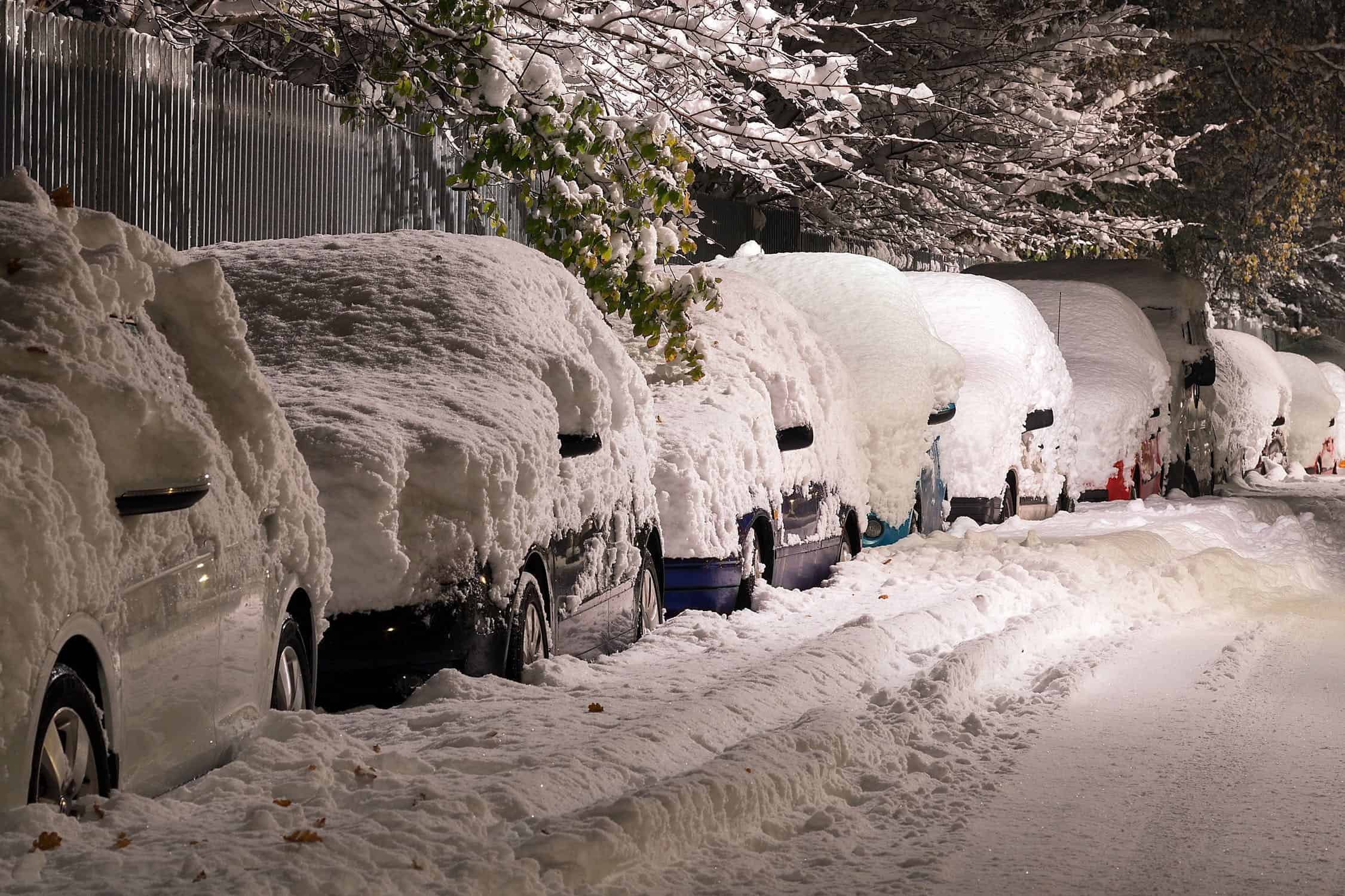
50 cm of snow will be dumped in some parts of Ontario this week
Published January 14, 2024 at 10:25 am
As winter tightens its grip on Ontario, residents are advised to gear up for another round of snowfall set to hit the province in the coming days.
After Friday’s snowstorm where wind speeds reached up to 70 km/h, causing heavy blowing snow with accumulations of 5 to 10 cm and reduced visibility, another multi-day snow squall event will begin Saturday evening extending through Monday.
These squalls could dump over 50 cm of snow in the usual snowbelt areas near Lake Huron, Georgian Bay, and Lake Superior.
According to Instant Weather, Lake Erie and Lake Ontario squalls, occasionally crossing the border, pose a dual threat with significant snowfall and a risk of near-zero visibility.
“It’s advisable to avoid the roads until conditions improve, as the lake-effect snow may lead to road closures,” Instant Weather notes on its website.
Late Saturday, snowfall started off along Lake Huron and Georgian Bay with a thin squall extending from the Bruce Peninsula into Muskoka, and to the south around Kincardine and Goderich regions. With colder temperatures overnight, these squalls are expected to intensify, with the most severe conditions anticipated in Grey and Bruce counties, moving south into Huron and Perth counties.
Videos


Georgian Bay, Bracebridge/Port Carling to Orillia/Midland may experience intense bands, but whether they stay stationary or drift is uncertain.
As of today (Jan. 14), the Lake Erie squall is forecasted to move north, bringing heavy snow for a few hours to parts of the Niagara region. The Lake Ontario band is also expected to stretch across Prince Edward County to Kingston.
Meteorologists say, both Lake Ontario and Lake Erie squalls will move south by early afternoon. However, the Lake Huron and Georgian Bay squall will persist, impacting Muskoka, Simcoe County, Kawartha Lakes, Grey County, Bruce County, Huron County, and Perth County areas throughout the day.
Closer to the evening, westward-shifting winds will bring back squalls in Muskoka, Northern Simcoe County, Owen Sound, Kincardine, and Wiarton.
Additionally, around midnight, squalls may return to the Niagara and Picton/Kingston regions, bringing more heavy snow into early Monday (Jan. 15).
The squall is forecasted to shift southwest near Parry Sound, Sundridge, and North Bay.
The Lake Huron squall could extend far inland, bringing brief but heavy snow to the Greater Toronto Area, Kitchener, and Guelph. “Expect sudden visibility reductions,” Instant Weather says.
During this time, areas east of Georgian Bay, including Muskoka and Parry Sound, may experience a break from the snow during the afternoon as the intense bands move southward.
In the Niagara region, along the Lake Erie shoreline including Fort Erie, Port Colborne, and Turkey Point, up to 15-30cm of snow is possible.
Welland may see around 10-20 cm, Niagara Falls could get 5-10 cm, and St. Catharines may have around 5 cm of snow.
In Eastern Ontario, Picton, Napanee, and Kingston are expected to receive the most snow from Lake Ontario, with some areas receiving between 10- 15 cm.
Those residing along the International Border into Brockville, can anticipate snowfall of 5-10 cm.
South of Lake Superior, intense ongoing snow squalls are predicted to move north, resulting in rapid snow accumulation east of Lake Superior, between Wawa and Sault Ste. Marie.
As per reports, snow squall activity in this region is expected to continue into Monday and Tuesday. By Monday afternoon, the hardest-hit areas including Sault Ste. Marie, could see snow totals ranging from 25 to 50 cm.
Further east, the Chapleau and Elliot Lake regions may experience heavy lake-effect snow with approximately 10-20 cm.
The rest of northeastern Ontario can expect to see 5-15 cm of snow with lower totals further away from the lake, meteorologists say.
INsauga's Editorial Standards and Policies