

A special weather statement is in effect for strong wind and lake effect flurries in the Greater Toronto Area and across southern Ontario.
The gusty winds with flurries could cause brief periods of reduced visibility on Tuesday, Environment and Climate Change Canada said in the statement.
Strong winds gusting to 70 km/h and isolated gusts to 80 km/h are possible.
The statement is in effect in Toronto, Mississauga, Brampton, Durham Region, Halton Region, Hamilton, Niagara Region, York Region and London.
A high of -3 C and a low of -10 C is forecast in the GTA, but with the wind chill, it could feel as cold as -22 C.
The strong westerly winds are expected to slowly diminish later this morning.
The lake effect flurries off Lake Huron and Georgian Bay are expected to extend well inland at times and may give brief periods of poor visibility due to heavier snow and blowing snow.
Snowfall accumulations are not expected to be significant.
But warnings remain in effect in the Bruce County, Bruce Peninsula and Tobermory area where up to 30 cm of snow could fall on Tuesday.
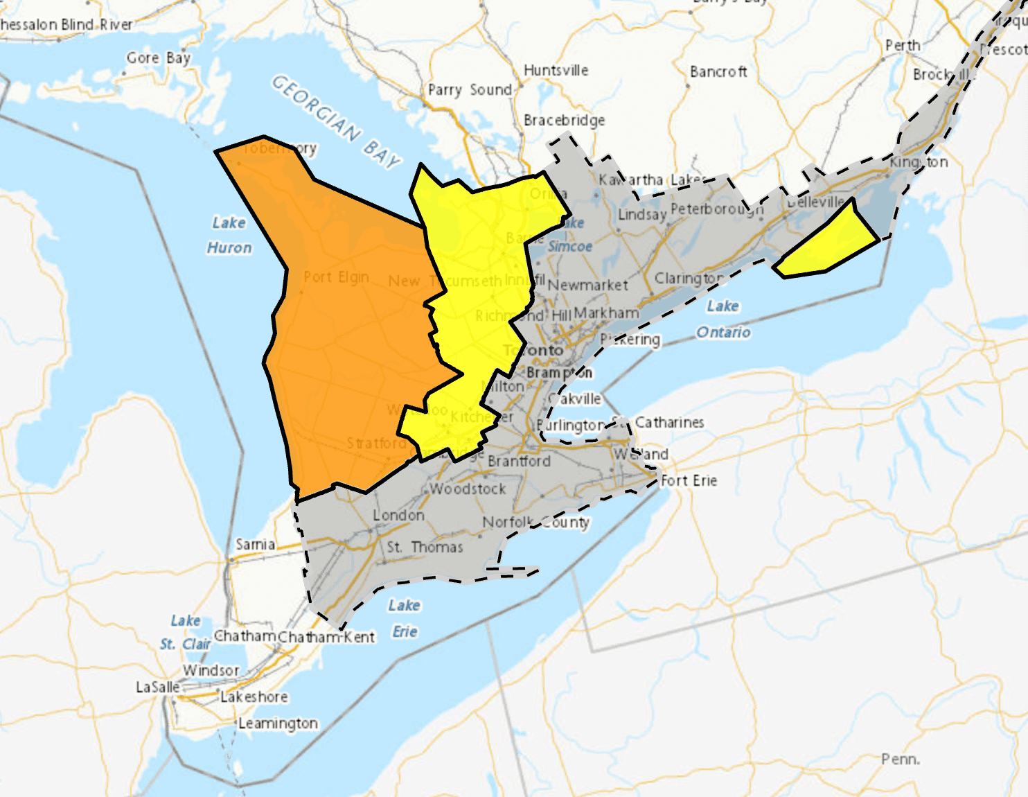
A special weather statement is in effect for strong wind and lake effect flurries in the Greater Toronto Area and across southern Ontario. Areas shaded in orange and yellow are under warnings for snow squalls. Map: Environment Canada
Lead photo: Matteo Max Putzolu
INsauga's Editorial Standards and PoliciesPollView All
WIN A $100 GIFT CARD
Subscribe to INsauga’s daily email newsletter for a chance to win a $100 Amazon gift card.